Visualizing the way People Choose Paths in the City
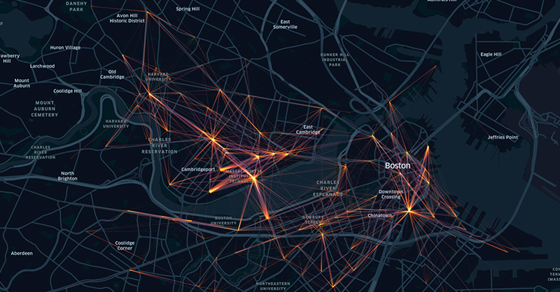
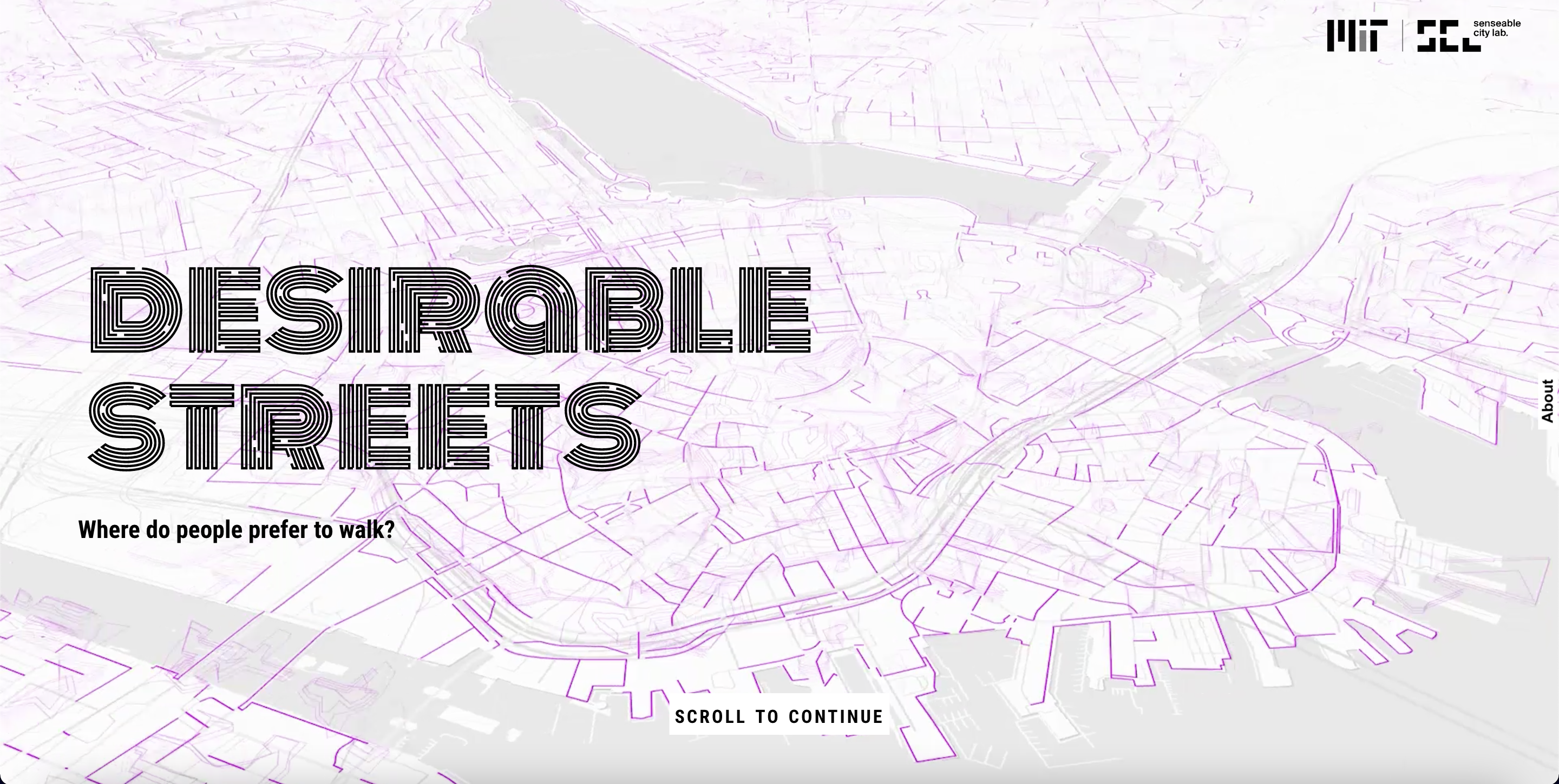
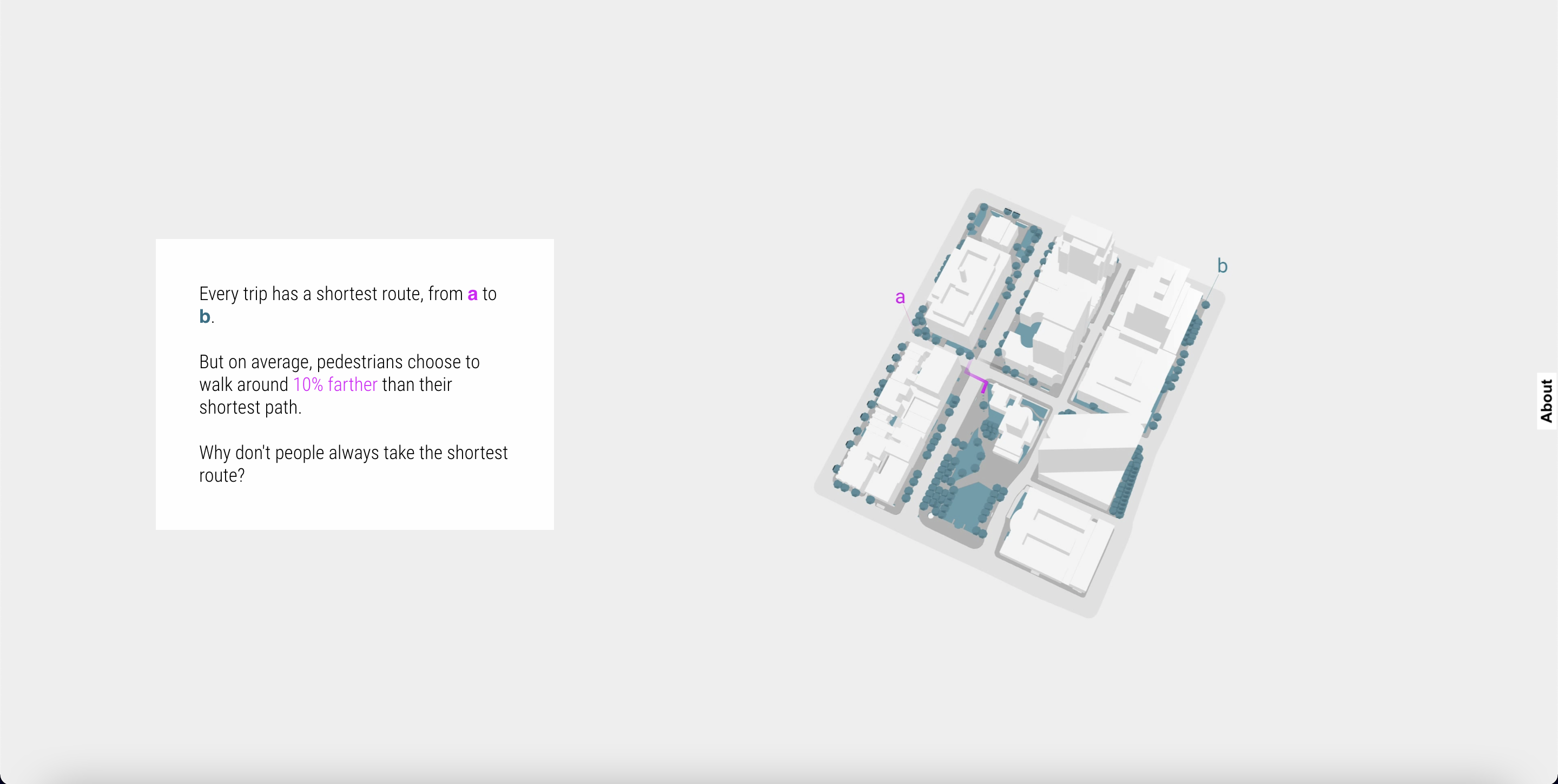
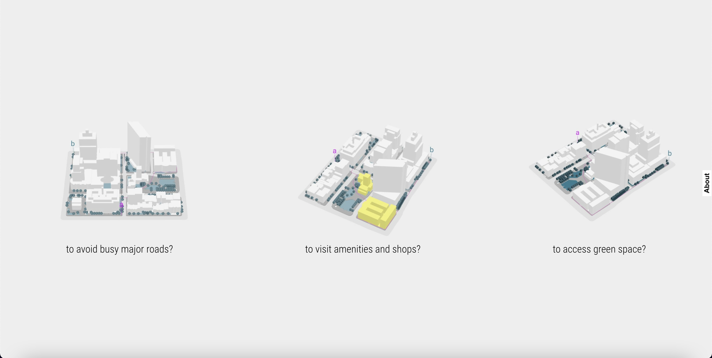
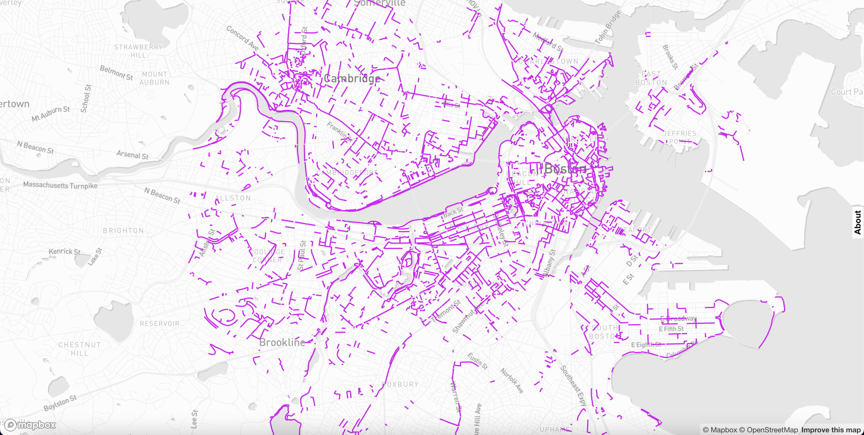
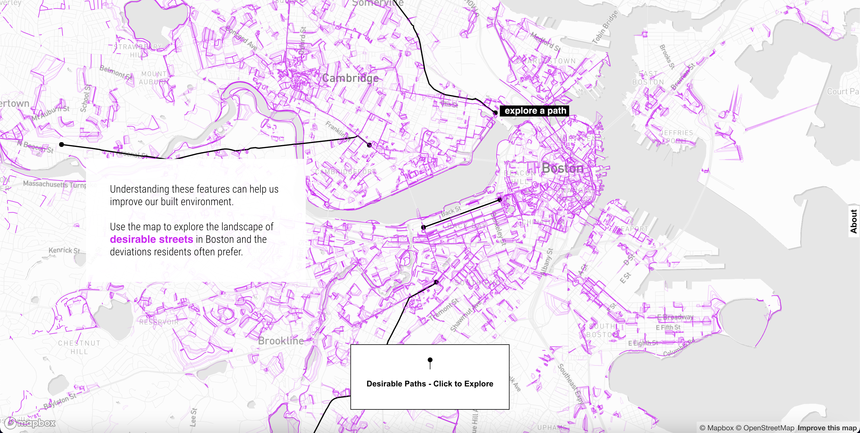
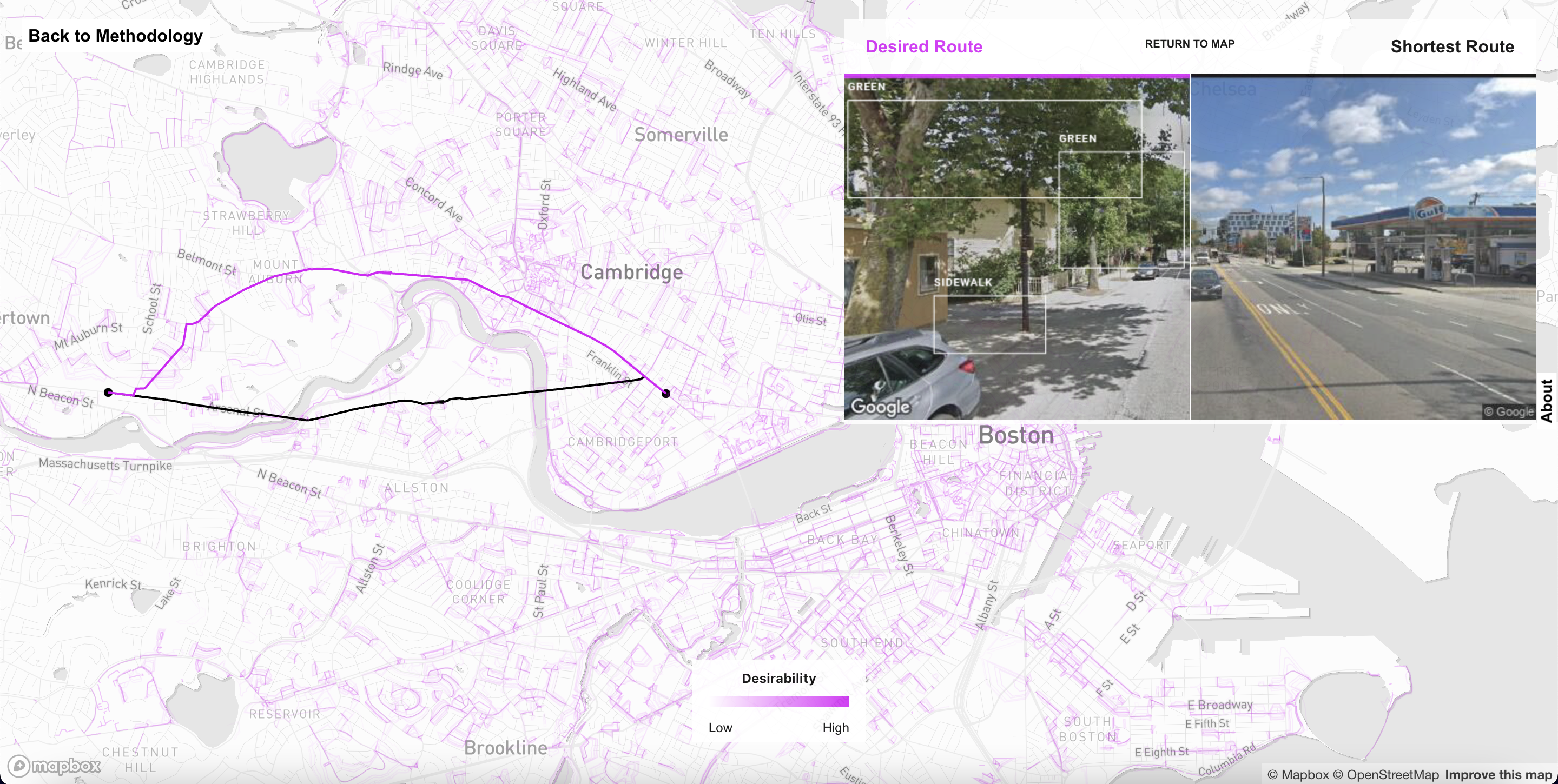
- Purpose: This project visualized and communicated the research on preference of pedestrian route through the city, specific to the Bostom-Cambridge area. This research translation and community project used a variety of narrative and mapping techniques to outline findings and create an interactive way to experience the research.
- Role: Website, Visualization
- Outcomes: Project website
- Context: Professional, academic setting
Description
See the site at senseable.mit.edu/desirable-streets.